













Map the Hike
Ozobot
6-8
•
Science
•
saved


Ari App
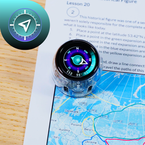
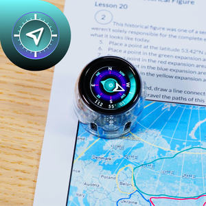
Use Ari as your trail guide! Students combine the Compass and Distance apps to map out a series of hikes, using latitude and longitude to find starting points and Ari’s sensors to measure each segment. They draw accurate trail paths by following real
Academic Standards
NGSS.MS-ESS2-2



Loading Document...